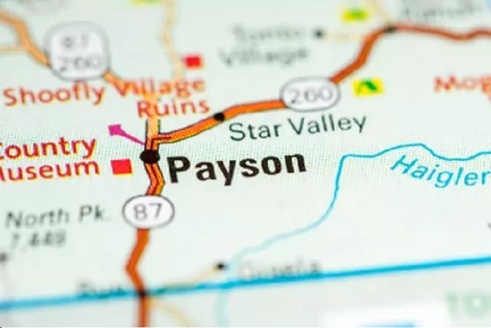
Payson is a picturesque town located in the heart of Arizona, known for its cool mountain climate and proximity to the Mogollon Rim. Often referred to as “The Heart of Arizona,” Payson offers a unique blend of natural beauty and cultural heritage. This article provides a comprehensive overview of Payson’s location, accessibility, and surrounding attractions, accompanied by detailed maps to enhance your understanding of this charming town.
Payson’s Exact Location in Arizona
Geographic Coordinates
- Latitude: 34.2309° N
- Longitude: 111.3251° W
Elevation
- 5,000 feet (1,524 meters) above sea level
County
- Gila County
How to Find Payson on an Arizona Map
Finding Payson on a map of Arizona is easy once you know what to look for:
1. Locate Central Arizona: Payson sits almost exactly in the geographic center of the state.
2. Find the Mogollon Rim: This massive geological feature runs east-west just north of Payson.
3. Identify Major Highways:
- State Route 87 (the Beeline Highway) runs north-south through town
- State Route 260 runs east-west
4. Look for Nearby Landmarks:
- Tonto Natural Bridge State Park (15 miles north)
- Roosevelt Lake (45 miles south)
- Coconino National Forest (north and west)
Access and Transportation
Travelers can reach Payson via several routes:
- From Phoenix: Take Loop 202 East to the Country Club Exit. Turn left onto Country Club, which becomes Highway 87 (Beeline Highway). Continue north directly into Payson.
- From Flagstaff: Travel east on Lake Mary Road for about 45 miles to Clint Wells. Turn right onto Highway 87 and proceed south through the towns of Strawberry and Pine before arriving in Payson.
Detailed Maps of Payson
To gain a better understanding of Payson’s layout and surrounding areas, the following maps provide valuable insights:
- Payson Area Map: This map offers a comprehensive view of Payson and its vicinity, highlighting key roads, parks, and recreational areas.
- Payson Street Map: For detailed street-level navigation, this map outlines the town’s streets, neighborhoods, and points of interest.
- Payson Area Trails System Map: Outdoor enthusiasts can explore this map to discover the network of trails available for hiking, biking, and horseback riding in and around Payson.
Surrounding Attractions
Payson serves as a gateway to several notable attractions:
- Mogollon Rim: Located to the north of Payson, the Mogollon Rim is a significant geological feature offering breathtaking views and recreational opportunities.
- Tonto National Forest: Encircling Payson, this expansive national forest provides diverse ecosystems, wildlife habitats, and numerous outdoor activities.
Conclusion
Payson, Arizona, is centrally located, offering both residents and visitors a blend of natural beauty and cultural richness. Its accessible location, coupled with detailed maps and proximity to various attractions, makes it a noteworthy destination for those exploring the heart of Arizona.

