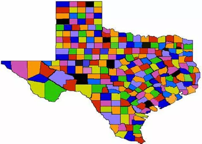
Texas, the second-largest state in the United States, is renowned for its vast landscapes and diverse geography. The state is divided into 254 counties, each unique in its own right. Among these, Brewster County stands out as the largest by area.
Brewster County, located in West Texas, encompasses a total area of approximately 6,192 square miles. To put this into perspective, Brewster County’s size is more than three times that of the state of Delaware and exceeds Connecticut’s area by over 500 square miles.
Geography and Location
Situated in the Trans-Pecos region, Brewster County shares a border with Mexico to the south. The county seat and only city within its boundaries is Alpine. The terrain is characterized by mountainous regions, desert landscapes, and a significant portion of the Rio Grande riverfront. This diverse geography contributes to the county’s unique ecosystems and recreational opportunities.
Adjacent Counties and Municipalities
Brewster County is bordered by several other large counties, including Pecos, Hudspeth, and Presidio. Each of these counties offers unique landscapes and cultural experiences, contributing to the rich tapestry of West Texas.
History
Established in 1887, Brewster County was named after Colonel Henry Percy Brewster, who served as the Secretary of War for the Republic of Texas. The county’s history is rich with cultural influences, including Native American heritage and Spanish exploration. Over the years, it has evolved from a sparsely populated frontier region to a community known for its natural beauty and outdoor activities.
Early Explorations
- 1535: Spanish explorer Álvar Núñez Cabeza de Vaca traversed Brewster County on his journey to La Junta de los Ríos.
- 1583: Another Spanish expedition led by Antonio de Espejo passed through the region en route to the same destination.
- 1684: Juan Domínguez de Mendoza camped at Kokernot Spring, providing the earliest recorded description of the site.
- 1772: Northern Mexican military governor Lt. Col. Hugo Oconór led an expedition to locate sites for forts along the Rio Grande.
- 1851: Surveyor William H. Emory sent M. T. W. Chandler to survey what is now the heart of Big Bend National Park, including notable canyons.
- 1859 & 1860: Expeditions of the U.S. Camel Corps explored the Comanche Trail through Persimmon Gap and along the Rio Grande.
Native American Influence
- Paleo-Indian Era: Hunter-gatherers inhabited the region at least 9,000 years ago.
- Mescalero Apaches: Later emerged and conducted raids that discouraged settlers.
- 1789: Three leading Mescalero chiefs agreed to submit to Spanish rule.
- 19th Century: Comanche raiding parties continued through much of the century.
Economic Development and Challenges
- Late 19th to Early 20th Century: The Terlingua Mining District experienced a boom due to the extraction of cinnabar, a mercury ore.
- 1915: Incursions by Mexican bandits, inspired in part by Pancho Villa, led to increased military presence.
- Post-World War I: As mines and wax factories declined, so did the population, leading to the designation of Terlingua as a ghost town.
Establishment of Big Bend National Park
- 1933: Big Bend National Park was established as a state park.
- 1935: Congress founded it as a national park.
- 1944: Big Bend opened to the public, covering just over 800,000 acres, making it the fourteenth largest national park in the U.S.
Demographics
As of the 2020 census, Brewster County had a population of 9,546 residents. This relatively low population density is reflective of its expansive land area and rural character. The community is tight-knit, with a strong emphasis on preserving the area’s natural and cultural heritage.
Racial and Ethnic Composition
- White alone (Non-Hispanic): 51.83%
- Black or African American alone (Non-Hispanic): 1.70%
- Native American or Alaska Native alone (Non-Hispanic): 0.31%
- Asian alone (Non-Hispanic): 0.98%
- Pacific Islander alone (Non-Hispanic): 0.12%
- Other race alone (Non-Hispanic): 0.59%
- Mixed race or Multiracial (Non-Hispanic): 2.95%
- Hispanic or Latino (of any race): 41.51%
Conclusion
Brewster County, located in West Texas, is the largest county in the state, covering an area of 6,192 square miles. It is part of the Trans-Pecos region and shares a border with Mexico. The county’s geography includes mountainous areas, desert landscapes, and the Rio Grande riverfront, offering unique ecosystems and recreational opportunities. Established in 1887 and named after Colonel Henry Percy Brewster, the county has a rich history shaped by Native American heritage, Spanish exploration, and later economic activities like mining and ranching.
Brewster County’s population, as of the 2020 census, is 9,546 people, with a diverse racial composition. The economy is mainly supported by tourism, particularly through Big Bend National Park, and agriculture, including cattle ranching. Despite its low population density, Brewster County remains an important part of Texas’ cultural and natural landscape, attracting visitors for its outdoor activities and historical sites.

