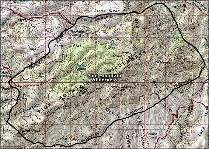
Pine, Arizona, is a serene census-designated place (CDP) nestled in the heart of Gila County, offering a unique blend of natural beauty and historical significance. Understanding its geographical location provides insight into its development, cultural heritage, and the experiences it offers to both residents and visitors.
Pine is a small community located in north-central Arizona, characterized by its mild climate, towering pine trees, and proximity to the Mogollon Rim. Established in the late 19th century, Pine has evolved into a popular destination for vacationers and retirees seeking a tranquil environment amidst scenic landscapes.
Geographical Location
Pine is situated at an elevation of approximately 5,369 feet (1,636 meters) above sea level. The community is bordered to the north by the Coconino County line, which follows the edge of the Mogollon Rim, a significant geological feature that stretches across Arizona. To the northwest lies the community of Strawberry, also within Gila County. Arizona State Route 87 passes through Pine, connecting it northeast to Winslow and southeast to Payson, facilitating access to and from the area.
Neighboring Communities
- Strawberry: Located to the northwest, Strawberry is adjacent to Pine and shares cultural and historical ties with the community.
- Payson: Situated to the southeast, Payson serves as a commercial hub for Pine residents, offering additional amenities and services.
- Camp Verde: Located to the south, Camp Verde provides historical sites and recreational opportunities, contributing to the region’s cultural richness.
Historical Significance
Established by four Mormon families in 1879, Pine has a rich history that is preserved through various cultural sites. The Pine-Strawberry Museum, opened in 1979, offers insights into the area’s prehistory and history, making it a must-visit for those interested in the region’s heritage.
Natural Features
The area surrounding Pine is renowned for its natural beauty, characterized by dense pine forests and proximity to the Mogollon Rim. Nearby, Bear Canyon Lake and Knoll Lake offer recreational opportunities such as fishing and boating, enhancing the appeal of the region for outdoor enthusiasts.
Pine’s Geography & Landscape
Elevation & Terrain
- Elevation: 5,800+ feet
- Terrain: Pine forests, canyons, and creeks
Climate
- Summer (June–August): 75–85°F, afternoon thunderstorms
- Winter (December–February): 30–50°F, occasional snow
Conclusion
Why Pine’s Location Matters
1. Gateway to the Mogollon Rim
Pine sits near the Mogollon Rim, a 200-mile-long cliff edge with stunning views and outdoor activities.
2. Cooler Climate Than Phoenix
While Phoenix bakes at 100°F+, Pine enjoys 75–85°F summers and snow in winter.
3. Proximity to National Forests
- Tonto National Forest – Surrounds Pine (hiking, camping).
- Coconino National Forest – 30 miles north (near Flagstaff).
Pine, Arizona, is a community that harmoniously blends natural beauty, historical depth, and a tranquil lifestyle. Its strategic location amidst neighboring communities like Strawberry, Payson, and Camp Verde, along with its rich history and proximity to natural attractions, make it a unique and inviting destination in north-central Arizona.

