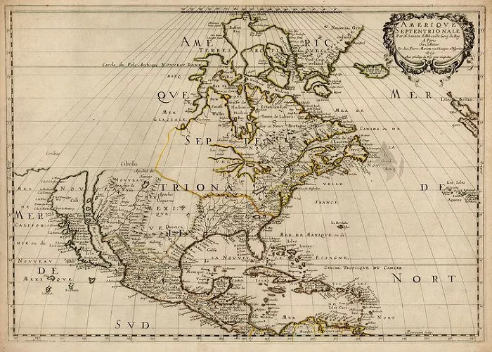
California, with its vast coastline and diverse landscapes, has been the subject of exploration and mapping for centuries. The process of charting this region involved numerous explorers and cartographers, each contributing to our understanding of the area. This article delves into the key figures and expeditions that played pivotal roles in mapping California.
1. Indigenous Knowledge: The First Maps of California
Long before Europeans arrived, Native American tribes understood California’s geography.
Tribes with Deep Geographic Knowledge
- Chumash – Expert navigators of the Central Coast
- Miwok & Pomo – Knew Northern California’s rivers and forests
- Kumeyaay – Mapped Southern California’s deserts and mountains
How They Mapped the Land
- Oral traditions passed down routes and landmarks
- Petroglyphs & pictographs marking important sites
- Trade networks showing connections between regions
Impact: Indigenous knowledge guided later explorers but was often ignored in official maps.
2. Spanish Explorers: The First European Maps
Spain claimed California in the 1500s, but accurate maps took centuries.
Juan Rodríguez Cabrillo (1542)
- First European to map San Diego Bay
- Charted parts of the Southern California coast
- His maps were rough but groundbreaking
Sebastián Vizcaíno (1602)
- Mapped Monterey Bay and named many coastal features
- His work guided later Spanish missions
Father Eusebio Kino (1680s-1700s)
- Proved Baja California was not an island (a common myth!)
- Mapped the Colorado River delta
3. Mexican Era: Defining California’s Land (1821-1848)
After Mexico gained independence, new surveys shaped California’s borders.
Manuel Victoria (1830s)
- Early governor who ordered land grant maps
- Divided California into ranchos (large estates)
John C. Frémont (1840s)
- American explorer who mapped the Sierra Nevada
- His surveys influenced the U.S. takeover of California
4. Gold Rush & U.S. Control: Mapping the Boom (1848-1900)
The Gold Rush (1848-1855) made accurate maps essential.
U.S. Coast Survey (1850s)
- Mapped California’s harbors and coastline
- Critical for shipping and trade
George Davidson (1860s-1890s)
- Surveyed lighthouses and coastal landmarks
- Named Mount Davidson in San Francisco
Wheeler Survey (1870s)
- Detailed maps of the Sierra Nevada and deserts
- Helped plan railroads and mining routes
5. Modern Mapping: From Paper to Digital
Today, California is mapped in extraordinary detail.
US Geological Survey (USGS) (1900s)
- Created topographic maps of the entire state
- Essential for earthquake and flood planning
Google Earth & GPS (2000s)
- Satellite imagery covers every inch of California
- Real-time traffic maps guide millions daily
Conclusion
The mapping of California was a complex process involving numerous explorers, cartographers, and Indigenous peoples over several centuries. From Juan Rodríguez Cabrillo’s initial coastal observations to Sebastián Vizcaíno’s detailed charts, and from Gaspar de Portolá’s inland explorations to Juan Bautista de Anza’s overland routes, each contributed to the evolving understanding of California’s geography. Recognizing these efforts provides a comprehensive view of how California was charted and the diverse influences that shaped its mapping history.

