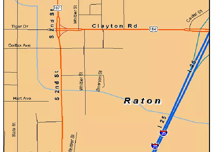
Raton is a charming city in northeastern New Mexico that many travelers pass through without stopping. But where exactly is Raton located, and what makes it special? This article will show you Raton’s precise location on a USA map while exploring its geography, history, and unique characteristics that make it worth visiting.
Exact Geographical Location
Raton sits at:
- Coordinates: 36°54′12″N 104°26′21″W
- Elevation: 6,680 feet (2,040 m) above sea level
- County: Colfax County
- Nearest Major City: 85 miles north of Las Vegas, NM
On a world map, Raton appears just south of the Colorado border along Interstate 25.
Water Resources
Raton’s water features include:
- Raton Creek: Flows through the city center
- Lake Maloya: Nearby reservoir for recreation
- Underground Springs: Provide natural water sources
Climate and Weather Patterns
Raton experiences:
- Four distinct seasons with cold winters and mild summers
- Average snowfall: 40 inches annually
- Summer highs: Typically 80°F (27°C)
- Winter lows: Often below freezing
Topography and Landscape
The area features:
- Raton Pass: Important mountain pass at 7,834 ft elevation
- Nearby Mountains: Sangre de Cristo range to the west
- High Plains: Rolling grasslands to the east
Geological Features
Notable geological aspects:
- Volcanic Formations: Capulin Volcano National Monument nearby
- Coal Deposits: Historic mining areas
- Rock Formations: Sandstone and limestone outcrops
Natural Environment
The region boasts:
- Diverse Wildlife: Elk, deer, black bears, and mountain lions
- Forest Areas: Ponderosa pine and aspen groves
- Grasslands: High prairie ecosystems
Historical Significance
Key historical points:
- Native American Heritage: Ute and Apache territories
- Santa Fe Trail: Important stop on the historic route
- Railroad History: Major AT&SF railroad hub
- Coal Mining: Drove early 20th century economy
Cultural Attractions
Notable cultural features:
- Raton Museum: Showcases local history
- Shuler Theater: Historic performance venue
- Annual Events: Roundup Rodeo, Arts and Crafts Fair
Economic Base
Current economic drivers:
- Transportation: I-25 corridor commerce
- Tourism: Gateway to state parks and monuments
- Retail: Serves surrounding rural areas
- Energy: Some remaining coal operations
Ecology and Conservation
Environmental considerations:
- Protected Areas: Nearby wildlife refuges
- Water Conservation: Important in arid climate
- Forest Management: Preventing wildfires
Population and Demographics
Current community profile:
- Population: Approximately 6,000 residents
- Ethnic Makeup: Majority Hispanic/Latino
- Population Trend: Slowly declining
How to Find Raton on a Map
Easy identification tips:
- Look where New Mexico, Colorado, and Oklahoma nearly meet
- Find Interstate 25 north of Las Vegas, NM
- Located between Trinidad, CO and Springer, NM
Conclusion
Raton, New Mexico may appear as just a dot on the map where I-25 crosses into Colorado, but it’s actually a fascinating high-altitude community with rich history and beautiful surroundings. From its days as a Santa Fe Trail stop to its current role as a gateway to northern New Mexico’s natural wonders, Raton offers much more than its small size might suggest. Next time you’re looking at a state map of the American Southwest, take a closer look at this hidden gem near the Colorado border.

