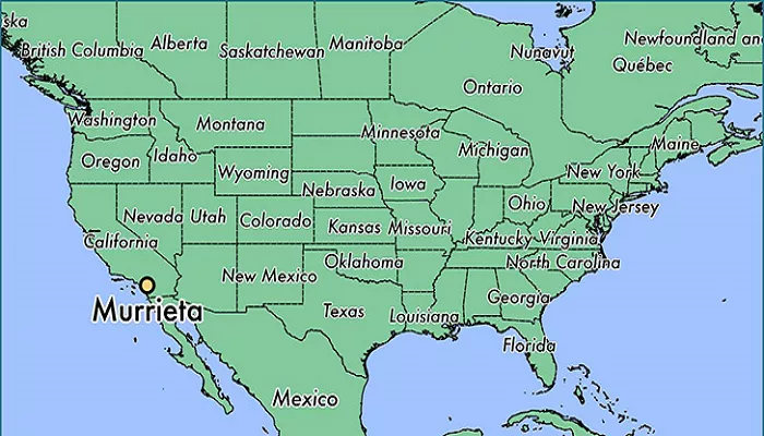
Murrieta is a city located in southwestern Riverside County, California, United States. Known for its rapid growth and family-friendly atmosphere, Murrieta offers a unique blend of suburban tranquility and proximity to Southern California’s major urban centers.
Established in the early 1990s, Murrieta has experienced significant population growth, becoming one of the fastest-growing cities in the region. As of the 2020 United States Census, the city’s population was 110,949, reflecting its appeal to families and individuals seeking a balance between suburban living and access to urban amenities.
Murrieta’s Location in California
1. Geographic Coordinates
- Latitude: 33.5697° N
- Longitude: 117.2025° W
- Elevation: ~1,200 feet (365 meters) above sea level
2. Regional Placement
- County: Riverside County
- Region: Southern California, Inland Empire
- Area Type: Suburban (part of the Temecula Valley)
3. Distance from Major Cities
| City | Distance from Murrieta | Drive Time |
|---|---|---|
| Los Angeles | ~85 miles | ~1.5 hours |
| San Diego | ~60 miles | ~1 hour |
| Temecula | ~10 miles | ~15 minutes |
| Palm Springs | ~70 miles | ~1.25 hours |
Surrounding Areas
- To the North: Murrieta is bordered by the city of Corona, located in Riverside County.
- To the East: The city adjoins the unincorporated community of Winchester.
- To the South: Murrieta shares a border with the city of Temecula, known for its wineries and Old Town district.
- To the West: The city is adjacent to the unincorporated community of La Cresta.
Accessibility
Murrieta’s location provides residents and visitors with convenient access to major highways:
- Interstate 15 (I-15): Running north-south, I-15 connects Murrieta to cities like Riverside, San Bernardino, and San Diego.
- Interstate 215 (I-215): A spur of I-15, I-215 provides additional routes to neighboring cities and regions.
Visual Representation
For a detailed view of Murrieta’s layout, including streets, parks, and points of interest, consider exploring the interactive maps provided by the City of Murrieta’s official website.
Why Murrieta’s Location Matters
1. Commuting & Transportation
- Easy freeway access makes it a bedroom community for workers in San Diego, Orange County, and Los Angeles.
- The French Valley Airport (RBK) serves private flights nearby.
2. Business & Economy
- Growing retail and healthcare industries due to its central Inland Empire location.
- Proximity to Temecula’s wineries boosts tourism.
3. Quality of Life
- Less crowded than coastal cities, with lower home prices than San Diego or LA.
- Great weather – Warm summers, mild winters, and minimal fog (unlike the coast).
Conclusion
Murrieta’s strategic location in southwestern Riverside County offers a unique blend of suburban comfort and urban connectivity. Its proximity to major Southern California cities, coupled with its own local amenities, makes it a noteworthy spot on the map for residents and visitors alike.

